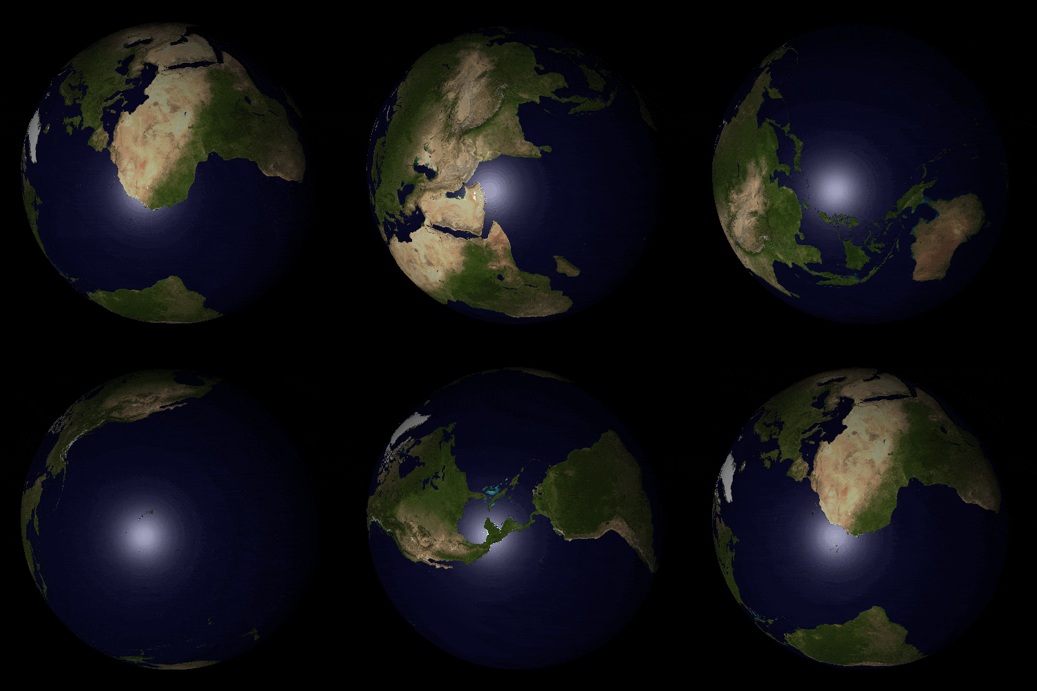
At OroraTech I was working on a Virtual FOREST Imager (VFI) that was to be used for the development of wildfire detection algorithms. The goal was to create satellite imagery and testing how the present wildfire detection algorithms would perform on images from different sensor configurations. This project has gotten it's last commit 2 years prior. A colleague has written a raytracer and set most of the systems in place. The reason we use a raytracer instead of a rasterizer was that we were able to mimic more physical effects.Me and another colleague picked it up again. I was mainly responsible for the features (such as sun glint and texturing). In the .gif below one can see a 10° inclined orbit.
view from satellite as it flies over a simulated earth sun synchronous orbit
The main goal was however to create realistic infrared images with correct radiometric values.
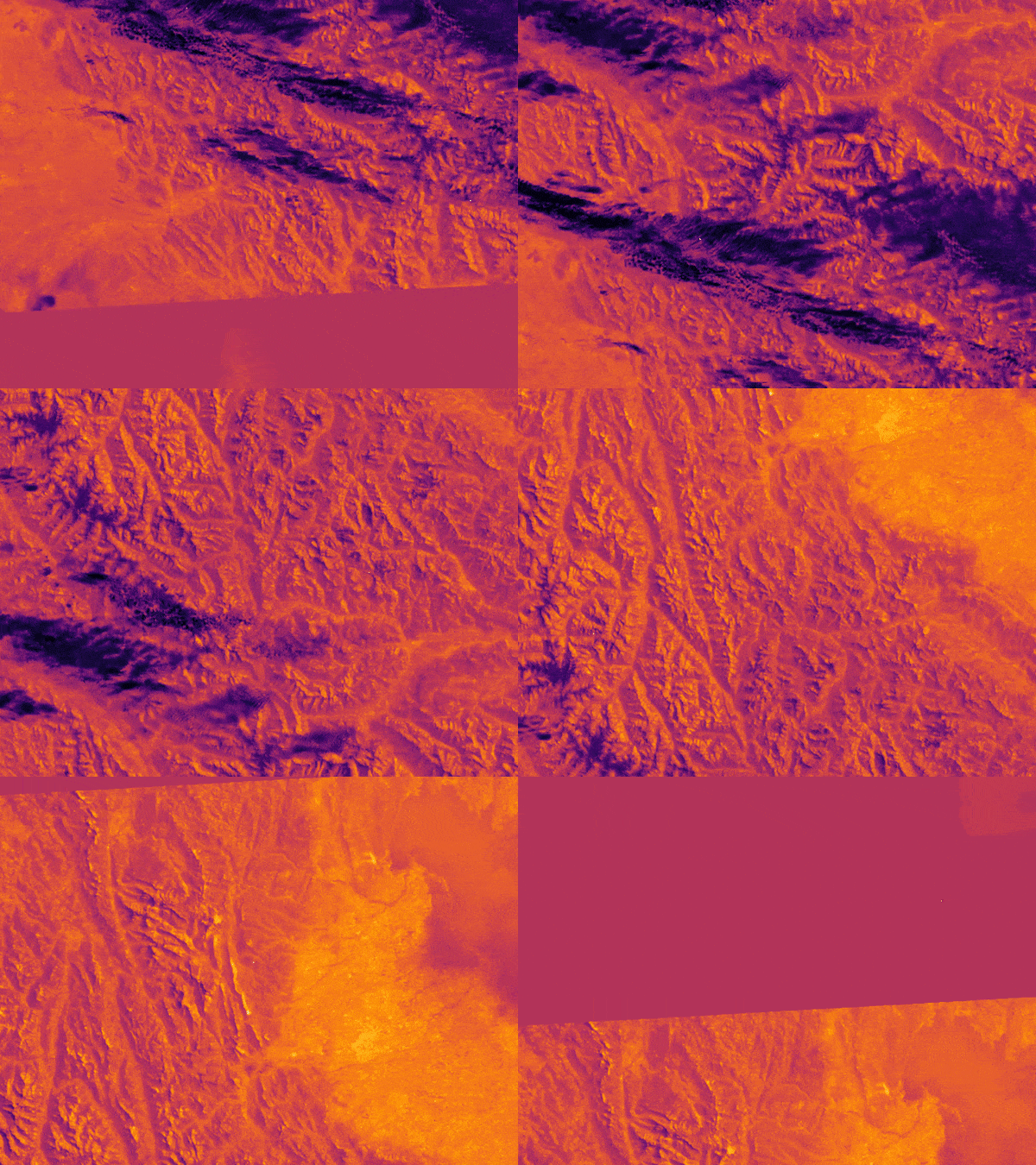
land surface temperature and textures